This is a guest post by our friend at Golden Haven Hot Springs, Bruce Kendall.
California’s roads are often thought of as being congested, and although this is true in many of the state’s big cities, California is filled with thousands of miles of scenic roads that are excellent for motorcycling. In fact, the Golden State boasts the second most lane miles in the country, following only Texas. Finding these hidden gems may not be as easy as one would think; many roads look appealing on a standard map but will land you in unwanted traffic!
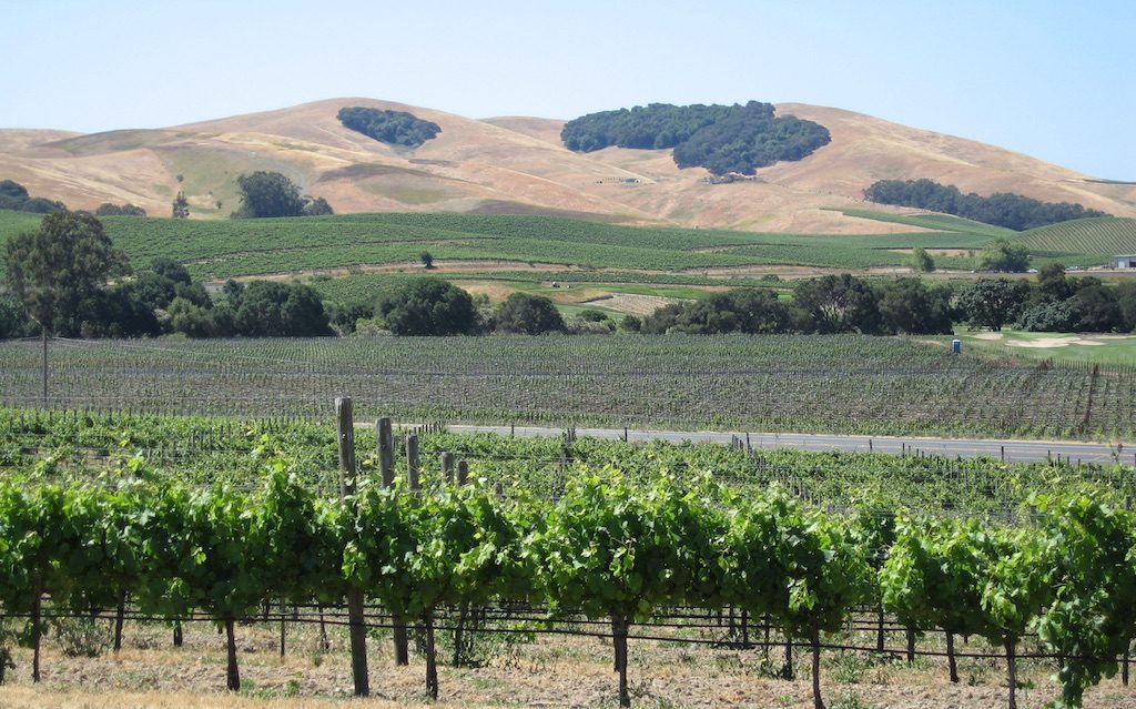
I’ve been riding in California for more than thirty years, and today will be focusing on some of the magical “roads less traveled” that reside in the northern part of the state. Just north of San Francisco, towards the top of the prestigious Napa Valley wine country lies a small town of about 5,000 people: Calistoga. Famous for its hot springs and mineral water, Calistoga is a popular tourist destination for its unique shops, restaurants, spas and wineries. It is also a frequent pass-through for motorcyclists in search of great riding.
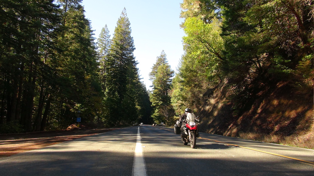
The area’s many picturesque roads leading to diverse destinations is what makes Calistoga an excellent starting point for day trips. Rides through wine country, twisty coastal mountain roads, and redwood forests await! And after a long day in the saddle, it’s nice to come back to a welcoming little town where virtually everything is within walking distance. While there are many fine establishments, we recommend a stay at Golden Haven Hot Springs. What better way to end the day than with a soak in a hot mineral pool?!
And now for the rides! Here are a few of my favorite day rides that leave from and return to Calistoga.
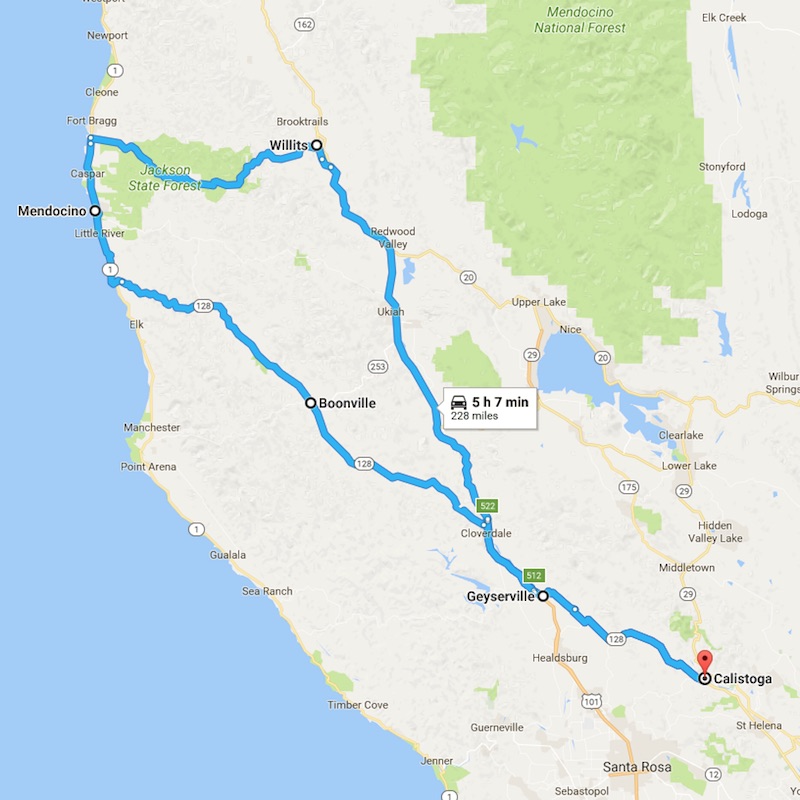 Mendocino Ride (approx. 230 miles)
This ride is on the longer side and will fill most of the day. It’s also one of my favorites. This route takes you through vineyards, mountains and redwoods with a run up the coast on Highway 1 to the quaint town of Mendocino.
The Route
Head out of Calistoga on Highway 128 towards Healdsburg and Geyserville. As you leave town you’ll find yourself immediately on a forested winding road which soon takes you into the vineyards of Alexander Valley. Continue on this road until you reach Geyserville. Here you will get onto Highway 101 North, also known as the Redwood Highway. This is a bonafide freeway, but is scenic with minimal traffic during your 10-mile jaunt. Take the second Cloverdale exit, get back onto Highway 128 to Booneville, and get ready for fresh paved roads with twists and turns!
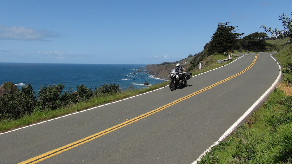
In about 40 minutes you’ll reach Booneville, a great place to stop for a break and refuel your bike and your body. When you are ready to leave, continue on 128 heading northwest towards Navarro. As you approach the coast you’ll feel the temperature drop and will be awestruck by the redwood forests lining the road. Pull off to the side of the road and take a minute to appreciate your surroundings. Before long Highway 128 runs into Highway 1, California’s famous Coast Highway, and you’ll head north towards Mendocino. Coast Highway is an absolute gem, provided it’s not cold, foggy or windy (which it can be). 10 miles later you’ll reach Mendocino, a must-stop on this excursion. This beautiful little seaside village is full of artist’s shops, restaurants, and an unbeatable view of the Pacific. Take some time here to explore, stretch your legs, and have lunch.
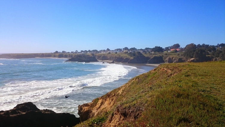
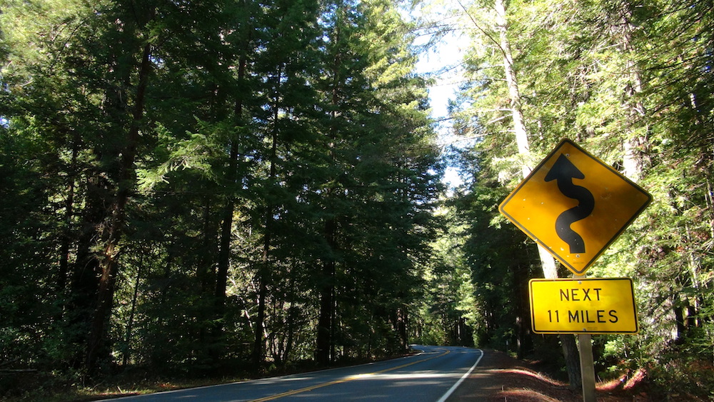
When you’re ready to leave get back onto Hwy. 1 North and continue on to Fort Bragg about 10 miles away. At this point head inland on Hwy. 20 for about 35 miles to Willits. This is a great stretch of road with lots of curves and hills and redwood trees. Gas up in Willits if you need to and head south on Highway 101 for about 60 miles. Exit the freeway at Geyserville and return to Highway 128 towards Calistoga. This is the road you traveled earlier, but running the opposite direction will feel like a different ride altogether. After this 24-mile stretch back through wine country you’ll return just in time for a hot mineral bath, a massage, and of course a good meal with some Northern California wine.
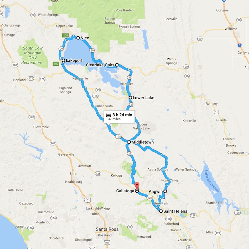 Clear Lake Ride (approx. 140 miles)
This ride takes you up the side of Mount Saint Helena, through the pine forests of Cobb Mountain and around California’s largest lake. You will find yourself on less traveled rural roads full of twists and turns before looping back to Calistoga.
The Route
Head north on Highway 29 out of Calistoga and immediately ascend the curvy road up the side of Mount Saint Helena. This road generally has little traffic and seldom slows you down as the many passing lanes allow you to charge up the mountain. It’s a long 17 miles to Middletown where you will turn onto Highway 175 towards Cobb Mt. Here take a left turn at the traffic light in the middle of town. This area recently had severe forest fires, the remnants of which are seen as you drive along this mountain road. Highway 175 will run back into Highway 29 where you will make a left turn to head north toward Lakeport, a town situated right on Clear Lake. Here you can stop for a break in a park near the shore.
From Lakeport you can take Lakeshore Drive around the lake to the Lucerne cut-off and hook up with Highway 20. Head south and you’ll come upon a little town called Nice. Continue on Highway 20 and follow the lake around to the town of Clearlake Oaks. Keep going until you come to a junction, where you’ll take Highway 53 to the town of Clear Lake and then on to Lower Lake. Here you will jump back on Highway 29 south towards Middletown. Just north of Middletown you will turn left onto Butts Canyon Road.
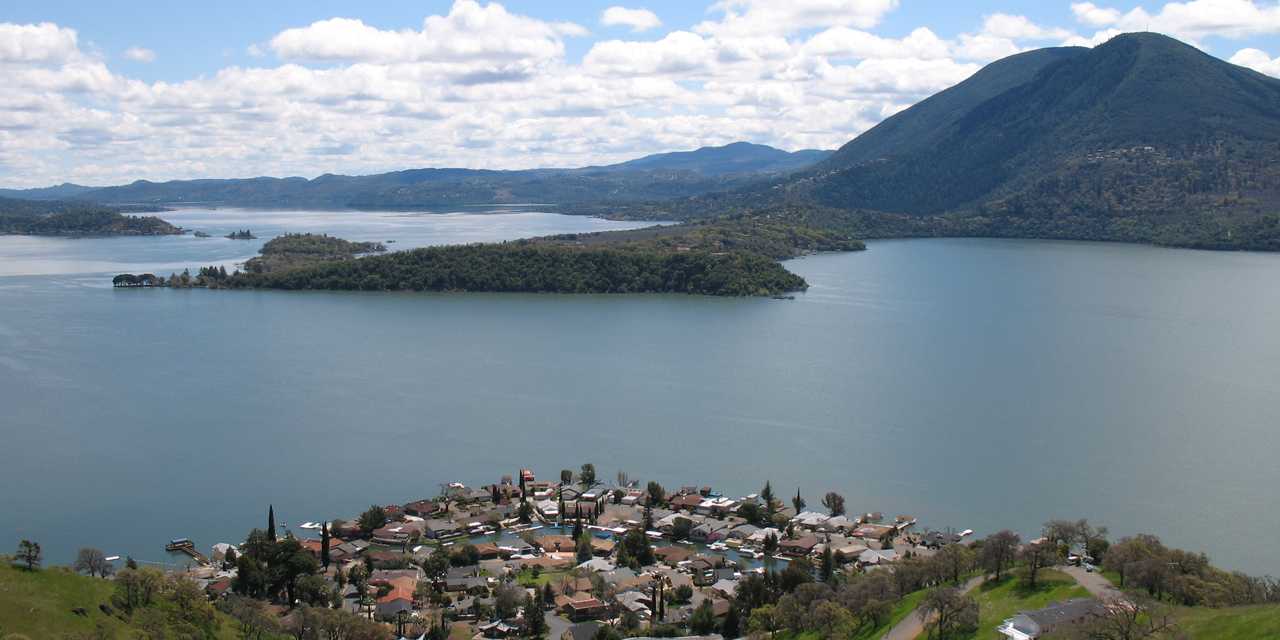
This is a great little ride that will take you into an area called Pope Valley. You will come to a junction with a general store on your left and the remnants of an old gas station. Head towards Angwin on Howell Mountain Road, and you will almost immediately start going uphill. This mountain road is full of curves and will land you in the very small town of Angwin. There is a gas station, grocery store and Pacific Union College, an Adventist school. The grocery store will only have vegetarian food as Adventists are vegetarian. Ride out of Angwin back down the mountain and enjoy the scenic ride with views of Napa Valley. You will return to Highway 29, where you will turn right and head north on the Silverado Trail for about 7 miles back to Calistoga.
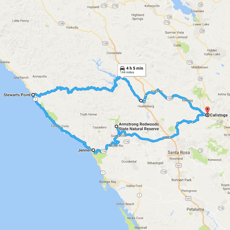 Stewarts Point Ride (approx. 150 miles)
This ride takes you through vineyards, redwoods, and coastal mountains with a nice run down part of the Coast Highway 1. Stewarts Point is an area situated along the Coast Highway, and makes for a nice lunch stop. This ride is all about mountain twisties and the beautiful California coast.
The Route
Depart Calistoga on Highway 128 towards Healdsburg and Geyserville. This time you’ll take Healdsburg Road at the Jimtown junction. As you ride into Healdsburg take a right at Dry Creek Road (if you hit the town square you’ve gone too far). After a few minutes Dry Creek Road becomes a great motorcycle road, eventually turning into Stewarts Point Road. From here you will wind through the hills with very little traffic to Stewarts Point.
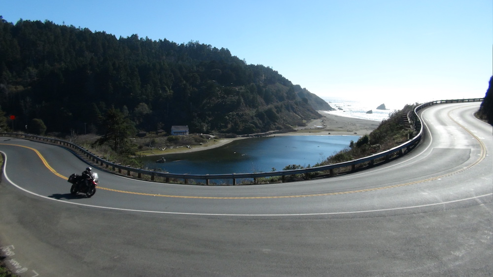
Take a left on Highway 1 at Stewarts Point and enjoy the magical riding on Coast Highway through Timber Cove and Jenner. This part of the ride is pure bliss on a good day, with the vast Pacific Ocean to your right and the winding California coast to your left. Head East on Highway 116 towards Guerneville and follow the Russian River into the redwood forests. As you enter the town of Guerneville be on the lookout for a sign to Armstrong Redwoods. Take a left and head into Armstrong Redwoods State Reserve. This is a great place to get off the bike and walk into the forest amongst these huge trees. You’ll find a visitor’s center and some restroom, and can witness one of the world’s largest trees: the Parson Jones tree stands over 300 feet tall and is estimated to be 1,300 years old.
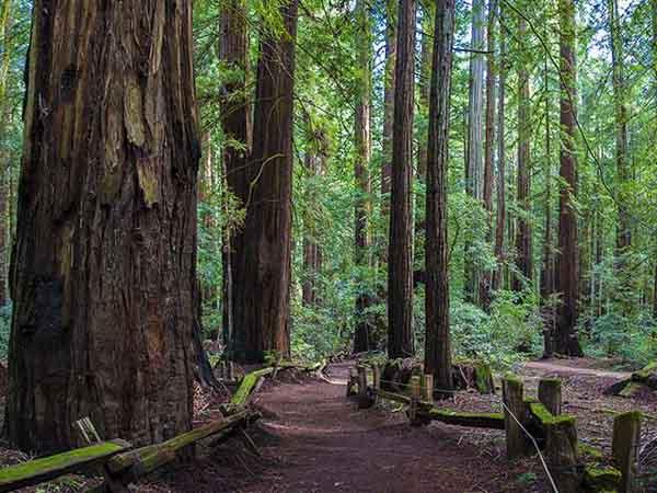
Leaving the park you’ll head back out the way you came and take River Road east towards Santa Rosa. When you get to Highway 101 pass over it and the road becomes Mark West Springs. This road will take you over the mountains back to Calistoga, about 17 miles away. There can be a bit of traffic during rush hour but it usually moves along. Just keep an eye out as there are many side roads and driveways that let out directly onto this road, as well as the occasional deer sighting.
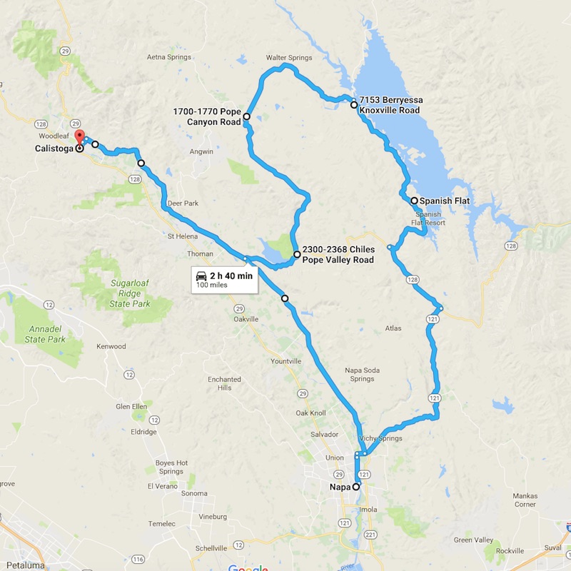 Lake Berryessa Ride (approx. 100 miles)
This ride takes you south of Calistoga on the scenic Silverado Trail, then eastbound through the inland hills and valleys to the manmade Lake Berryessa. You will then find yourself in the town of Napa before heading back north through the Napa Valley to Calistoga. These roads are great for motorcycling with very little traffic, and have almost no developed areas or gas stations. Start this ride with a full tank.
The Route
Leave Calistoga going south on the Silverado Trail. This is the best road for riding in Napa Valley, and after miles of vineyards and wineries as far as the eye can see you will turn left onto Highway 128. Stay on this road until you come to a junction, where you will turn left onto Chiles Valley Road. This turns into Pope Canyon Road and dead ends at Knoxville road, where you’ll take a right. It’s best to have a map handy as there are several roads with the name of “Pope” around here that can lead to confusion.
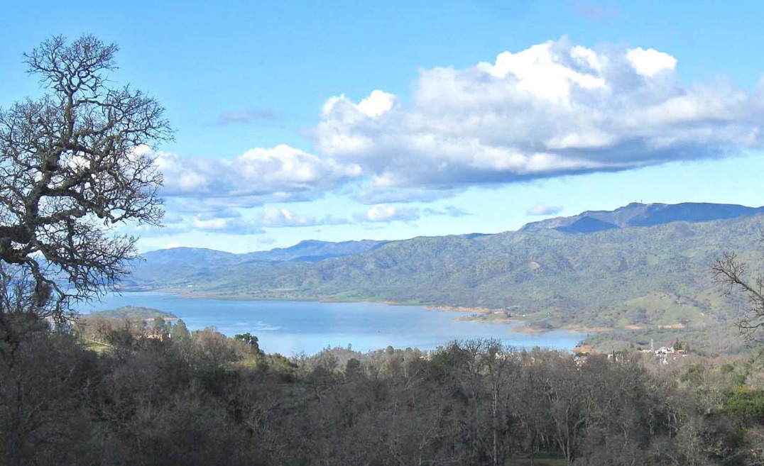
Now you are riding along Lake Berryessa and will come to a visitor’s center on the right. This is a good place to stop for a break after dealing with all of those Popes! A little further along you’ll reach Spanish Flat, the only place around with food and drink. Continue down this road until you run into Highway 128 again. Make a left onto 128 and you will eventually come to a junction to go right onto Highway 121 towards Napa.
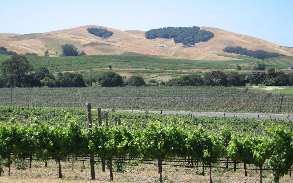
Highway 121 brings you to the town of Napa, the perfect place to stop for a meal or a break. Drive into town on the main road Trancas and you’ll see plenty of services before getting to the center of town. The Silverado Trail that you started on will serve as your route back to Calistoga. After 27 miles and only one stoplight, you’ll be ready for more relaxation in Calistoga.
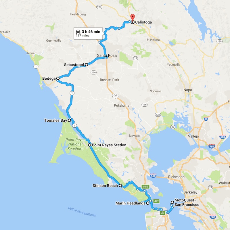 San Francisco to Calistoga Ride (approx. 80 – 120 miles)
Before enjoying any of the fantastic loops out of Calistoga, you’ll have to get there. For those flying in from out of state, first head to MotoQuest’s San Francisco shop to pick up your rental bike. Then check out the two routes below to get yourself up to Calistoga and begin your adventure!
Route 1: The Fast Way (approx. 80 miles)
If you just want to get up to Calistoga, there’s no better option than taking Highway 101 across the Golden Gate Bridge and heading north to Santa Rosa. There you will take the River Road exit to Calistoga. It’s easy, quick and simple. In the best traffic conditions you can expect an hour and a half trip, but there can be slower traffic in some spots, with heavy traffic during rush hour. Fortunately, lane splitting is legal in California. It is satisfying to work your way through slow or stopped traffic, but of course you must be extra cautious and ride at a safe and reasonable speed in relation to the vehicles around you.
Route 2: The Scenic Way (approx. 120 miles)
If you’re not in a hurry there is a more interesting way to get to Calistoga that involves some of the best riding along California’s Coast Highway 1. Cross the Golden Gate Bridge and take the first exit which brings you to a very scenic lookout point on the Marin Peninsula. Here you will find restrooms and extravagant views of the bay, the bridge, and the city.
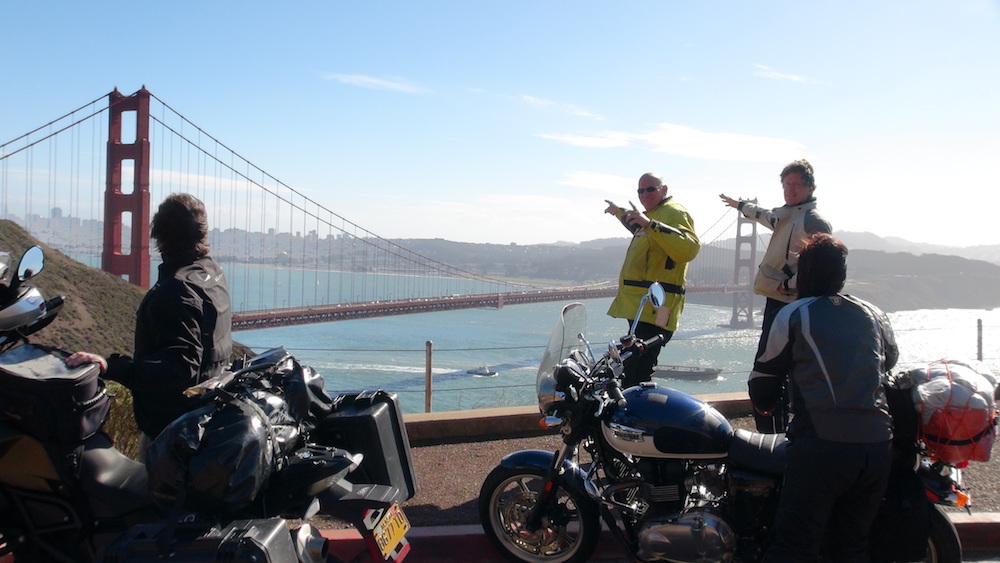
Get back onto 101 North for a short distance to the exit for Stinson Beach. Follow the signs for Stinson Beach and Muir Woods and you’ll find yourself on some major twists taking you down to the ocean. The town of Stinson Beach is small, consisting of a few shops and restaurants and of course the beach. This is a pleasant place to hop off and stretch your legs. Continue on Highway 1 for about 16 miles until you get to Point Reyes Station. This is another nice little town if you’re looking to stop. Otherwise, continue north on Highway 1 and you’ll soon be skirting along Tomales Bay, well known for its oysters. After about 27 miles arrive at a junction to continue on Highway 1 or turn right onto Bodega Highway.
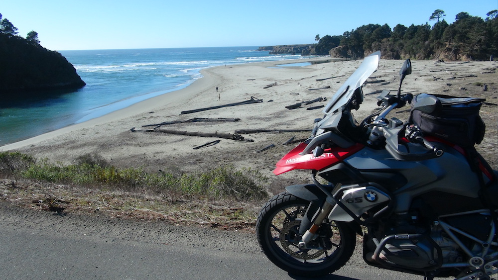
Bodega Highway takes you east and inland about 16 miles to Sebastopol. This is a nice ride through hills, coastal meadows and some old apple orchards. Sebastopol is a town of about 8,000 people. There may be some light traffic through town, but doesn’t take long to get through. Leave on Highway 12 towards Santa Rosa. You will come upon Highway 101, where you’ll head north up to the River Road exit to Calistoga. You’ll see some of the oldest grapevines in California during this ride, some over 100 years old! Once you get to Calistoga it will be time to sample some Napa Valley wine!
There you have it, 5 great rides through Northern California’s wine country! Don’t forget to check out our San Francisco motorcycle rental opportunities as well as our lineup of guided motorcycle adventures

