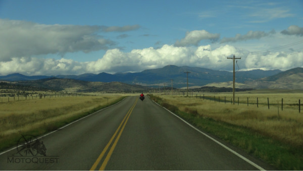
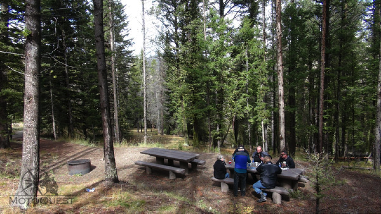
We traveled down the east side of the continental divide a short way and came to rest area dedicated to Sacajawea. There, clustered in the pine trees, were a bathroom, a couple of fire pits and picnic tables and place where a small spring trickled down the slope. This was the start of the Missouri River, and we took turns taking pictures of us straddling a water source that would eventually run into the Caribbean.
We returned on a road that directly linked the pass with Tendoy. At Tendoy, we chatted with the locals and rested. Riding a motorcycle on this road was delightful, with many curves and elevation changes. Broad views of the mountains were the highlight. The thoughts of this country with that exceptional journey filled my head as we descended. It was at Tendoy that L and C had arranged for some horses. Now, Tendoy is but a small gas stop with a store and post office – all one building.
We decided to head further south to check out Bannock Pass and see what the road conditions were like. After 20 miles of highway travel, we turned east and climbed once again into the Bitterroot Range. The road turned to dirt once again, making its way through a scenic canyon. The slopes of the valley were gradual and covered with dry grass.
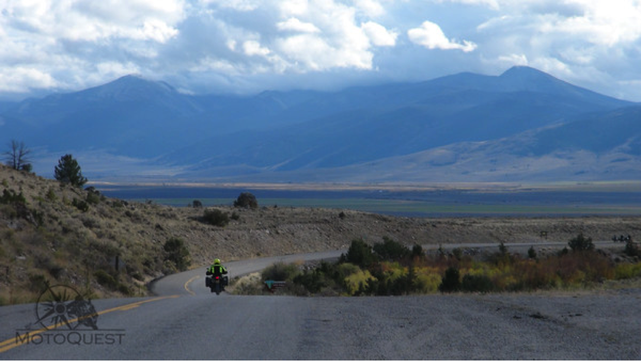
We topped out at the pass and out west you could see rolling hills into infinity. This place had been a major crossing for the Native Shoshone, miners, trappers, and railway men. Now, it was just a lonely dirt road. We made our way back to Salmon through the broad valley. Ranch after ranch, peak after peak passed us as we sped our way along the Lemhi River. The river, once a source of food for the Shoshone, with its prolific salmon runs, was clear and in a hurry. It was satisfying to be in Lewis and Clark territory, to actually see where they had journeyed. It was more profound than I had imagined. That evening, we walked to a local Steak House and had dinner. The group was really getting along, and the range of ridiculous topics and laughter were at an all time high. The day had been a pleasant, educational one. But that did not stop us from learning new ways of throwing toilet paper that evening!
September 30th Salmon to Butte, Montana 212 miles
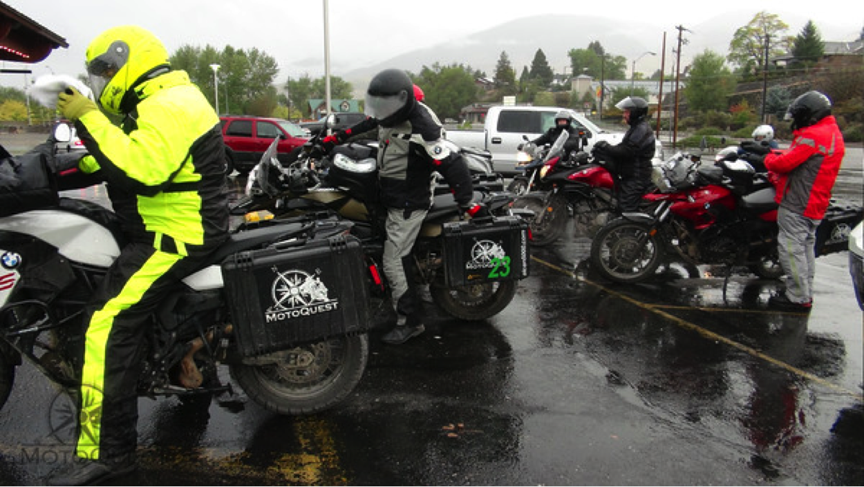
Rain came down as we geared up, prepared our bikes, and looked over the map. Fall had finally caught up with us. We left the parking lot of our hotel heading north along the Salmon River.
The forest grew more and more dense, and, as we took the North Fork of the Salmon and started climbing, I tried to imagine what it would have been like for the Corps of Discovery, with out the aid of these well-made roads, to ascend such a wilderness. Soon, we were in pure forest and though the rain came down, the landscape was particularly beautiful. Wispy puffs of clouds clung to the blanketed valley. Fir trees, wild river, and mountains…it was a joy to see. The temperature plummeted as we crested the pass at 7,000 feet. We were now on the boarder of Montana and Idaho, and headed east, straight into big sky territory.
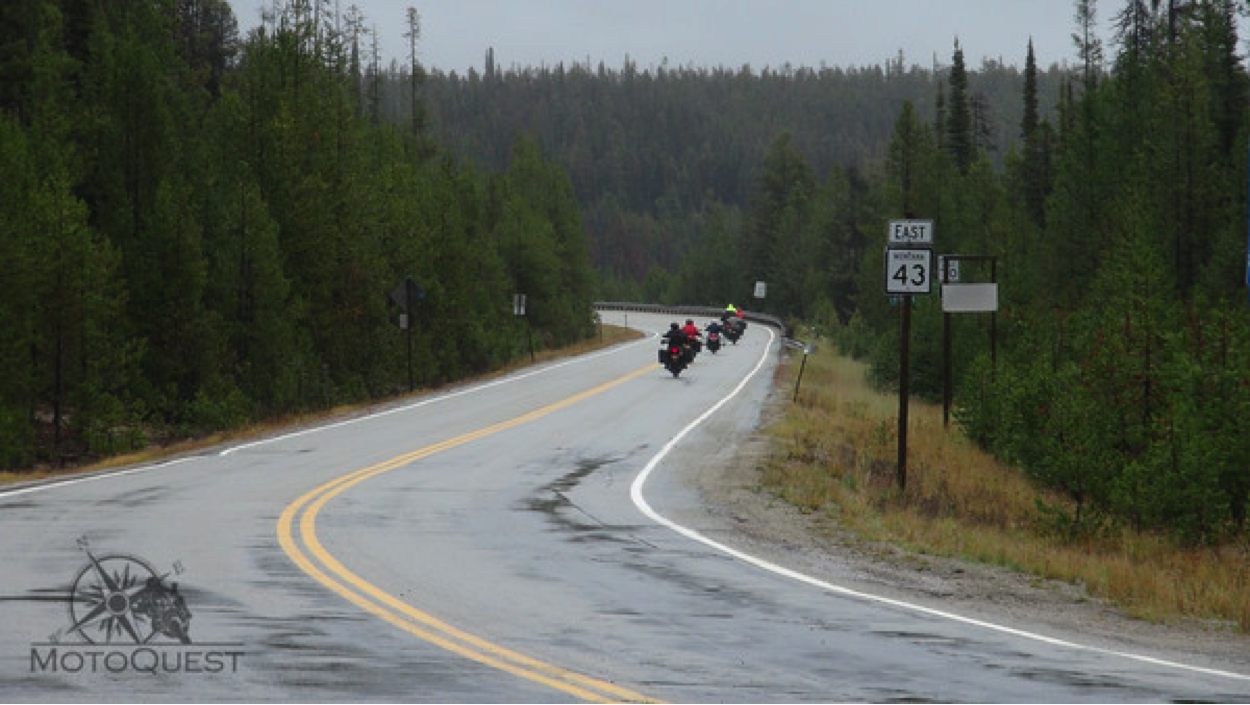
We passed farm fields and cattle along the rolling Salmon. Lewis and Clark had made this same journey, with hopes of finding a navigable river going west. They had to climb yet another pass, up the North Fork of the Salmon before they found a suitable river to start their down stream run to the Pacific. The narrow canyon we entered featured high, forested cliffs highlighted by large rock formations. It was both a forest and a desert at the same time. Rain came and went as we meandered through the narrow valley. Small ranches dominated the land, and a distinctly western feel came over me as I rode my motorcycle through.
We traveled on for about 45 minutes before we broke out of the forest and into high plains. There, we stopped at the Big Hole Battle Memorial. It was here where the Nez Perce were on the run in 1877, not wanting to give up their land, but not able to stay on it either. The US infantry attacked them and both sides suffered immensely. To think that the Nez Perce saved the Lewis and Clark Expedition from perishing, only to be hunted down a couple of generations later! There was a viewing platform and interpretive signs showing how the battle unfolded. Inside, there were artifacts, maps, and books on the subject of the how the US conquered the west. We watched a short movie about the battle. After the movie, I went outside with heavy heart. I had not felt this way since I was at the Hiroshima Peace Memorial. It’s hard to understand what people are capable of doing to each other. The Nez Perce were fine with their given reservation boundaries until gold was discovered. Then, all bets were off. Each treaty was stomped on.
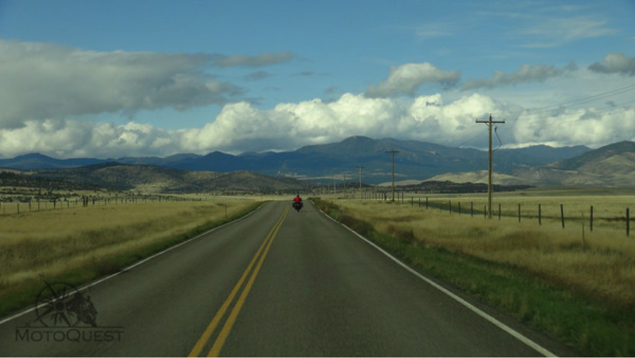
We left the cold, high plains and made our way to lower, warmer elevations. Montana was out in all of her glory: broad, grassy valleys frames with forested mountains. Clear running rivers wiggled through the each valley. The sky opened up, and sunlight started to hit us places. The road was long, straight and open. It was almost devoid of any traffic. Black cattle dotted the entire landscape. The colors and hues of the sky, clouds, rain bursts, forest and mountains seemed to be an organized symphony on the eyes. We were in Montana, and it was just beautiful. We stopped for lunch in Dillon at a quirky, old-style diner called Sparky’s Garage. We ate black and blue burgers, and pulled pork sandwiches as vintage signs, posters and photographs gazed at us from the walls. The napkins were actually oil rags! After lunch, we made our final push to Butte and more illustrious Montana landscape scenes met us. Fresh snow could be seen on the mountains, adding one more amazing hue to the natural pallet surrounding us. Heavy rain bursts could be seen all over and we weaved away and sometimes to the center of them. Our last few miles we took Route 2 up an over some forested mountains. The road was particularly made for motorcycling and as we descended to Butte by way of sharp curves, it dawned on me how beautiful the west really was.
TO BE CONTINUED…
Read Part 1 of the Trail of Lewis and Clark Scouting Trip Blog Post here.

